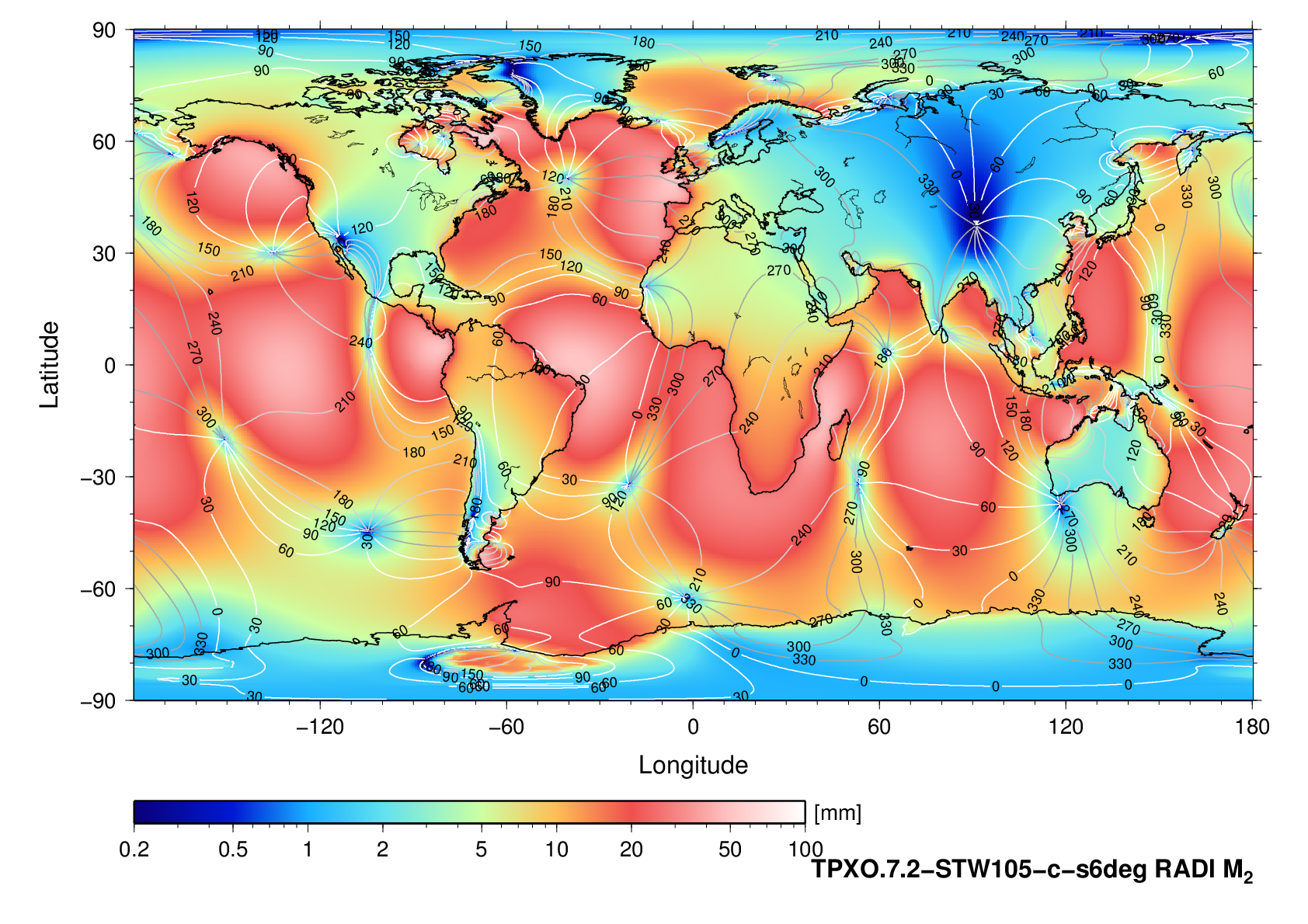
Radial
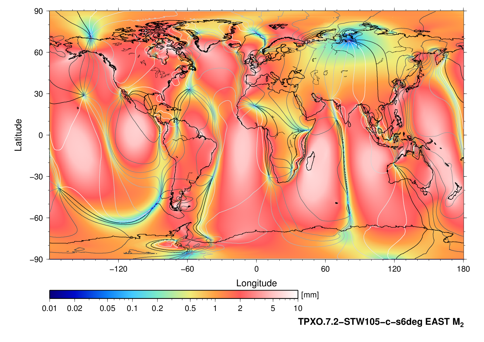
East
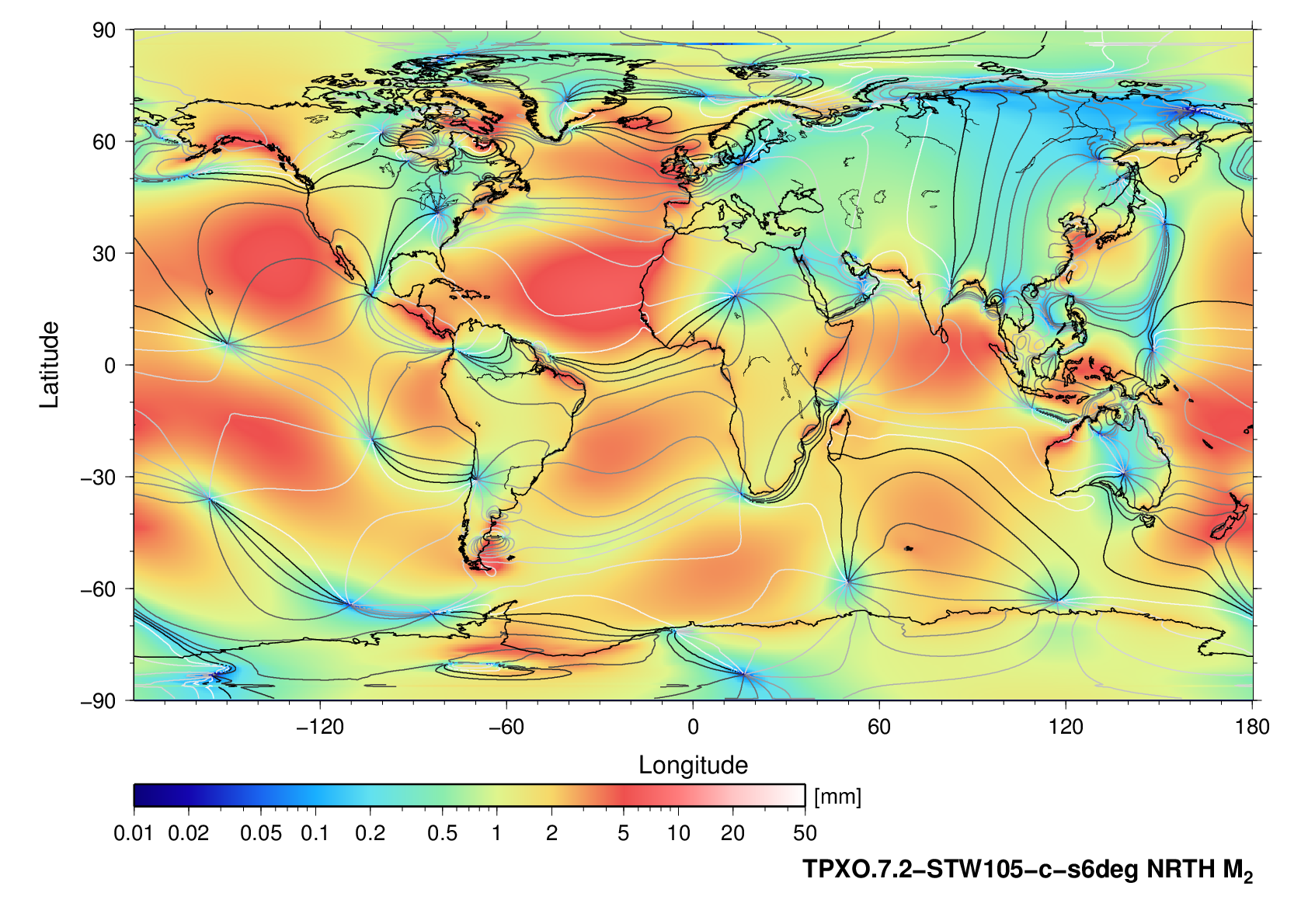
North
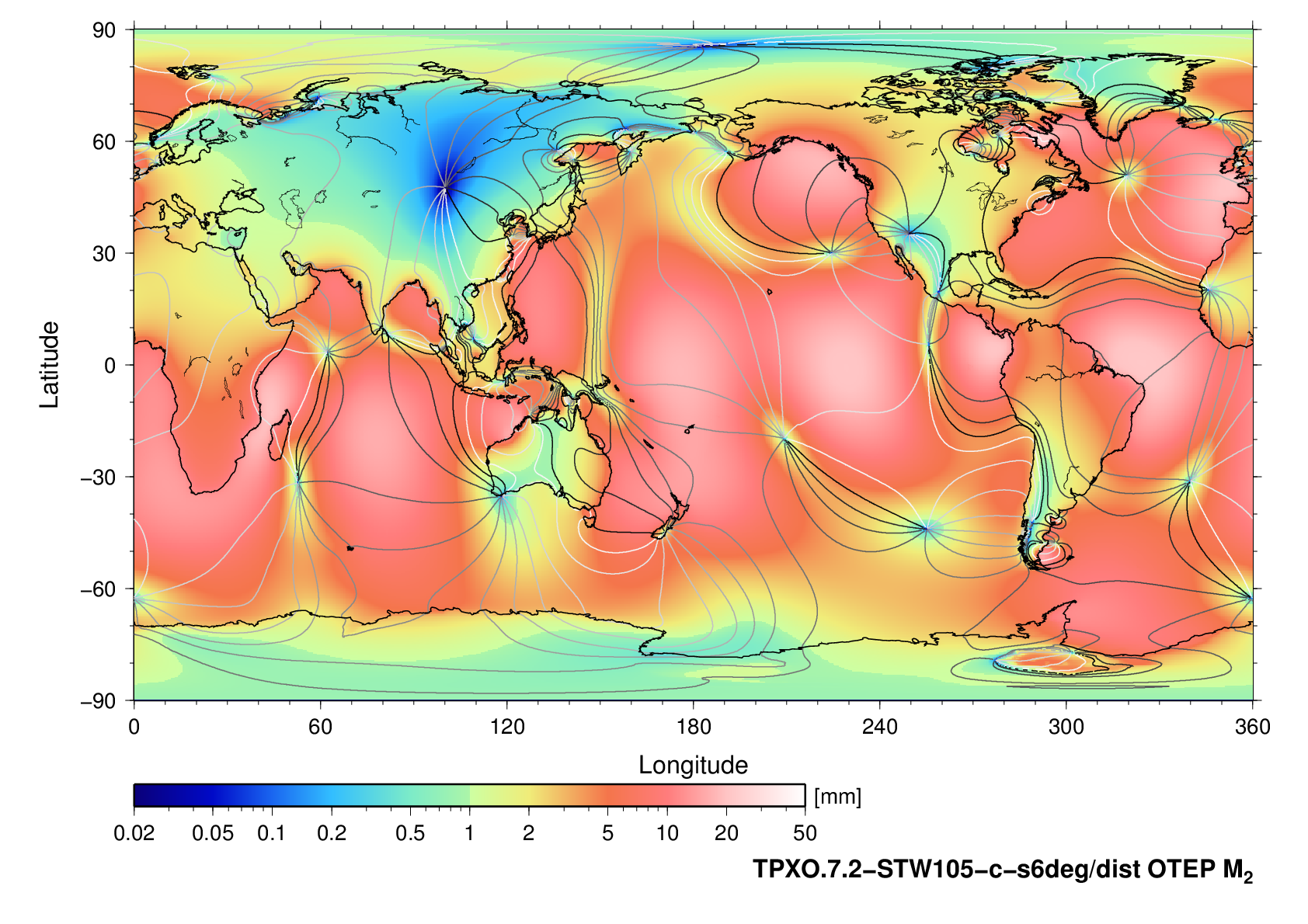
Tide generating potential
RADI_amp.m2 RADI_pha.m2Choice fell on the TPXO.7.2 model since it has a reasonably high resolution (grid constant 0.25 deg) and thus a manageable size for distribution. The grids were computed within a few hours. At the resolution 1/16 degrees as in the case of FES2014b, each pair of fields needs 1:20 hours to compute. The tangential components are actually the result of a finite-difference operation on a scalar, potential-like field.
EAST_amp.m2 EAST_pha.m2
NRTH_amp.m2 NRTH_pha.m2
grdmath RADI_pha.m2 COSD RADI_amp.m2 MUL = RADI_re.m2Then you can use grdtrack on each of the grids _re, _im
grdmath RADI_pha.m2 SIND RADI_amp.m2 MUL = RADI_im.m2
echo 11.936 57.396 | grdtrack -GRADI_re.m2 | awk '{print $3}' > ONSA-M2.reThe last line prints the ocean loading coefficient for tide M2, radial displacement at site ONSA (longitude E 11.936, latitude N 57.396), namely amplitude Ua in metres and phase Up in radians.
echo 11.936 57.396 | grdtrack -GRADI_im.m2 | awk '{print $3}' > ONSA-M2.im
paste -d' ' ONSA-M2.re ONSA-M2.im | awk '{print sqrt($1**2 + $2**2), atan2($2,$1)}'
u(t) = Ua cos(a(t) - Up)where a(t) is the astronomical argument of the corresponding luni-solar tide at the zero-meridian.
RADI_amp.m2: Title: dist/RADI_amp.m2Note that the grid is global; thus, interpolation can succeed across the boundary at 180 degrees east/west.
RADI_amp.m2: Command: xyz2grd -R-180/180/-90/90 -I0.25000/0.25000 -bi -fg -Gdist/RADI_amp.m2
RADI_amp.m2: Remark:
RADI_amp.m2: Gridline node registration used
RADI_amp.m2: Grid file format: nf (# 18) GMT netCDF format (float) (COARDS-compliant) [DEFAULT]
RADI_amp.m2: x_min: -180.00000 x_max: 180.00000 x_inc: 0.25000 name: longitude [degrees_east] nx: 1441
RADI_amp.m2: y_min: -90.00000 y_max: 90.00000 y_inc: 0.25000 name: latitude [degrees_north] ny: 721
RADI_amp.m2: z_min: 0.00000 z_max: 0.06277 name: z
RADI_amp.m2: scale_factor: 1.00000 add_offset: 0.00000
Radial |
East |
North |
Tide generating potential |