![[ ]](http://holt.oso.chalmers.se/icons/tar.gif) |
FES2004-bin.tar |
697M
|
binary files (Fortran -
never mind)
|
|
FES2004-maps.tar |
572M |
|
|
GOT00-maps.tar |
37M |
|
|
NAO99-maps.tar |
80M |
|
![[
]](http://holt.oso.chalmers.se/icons/unknown.gif) |
TPX7.2-header.blq |
1.0K |
|
|
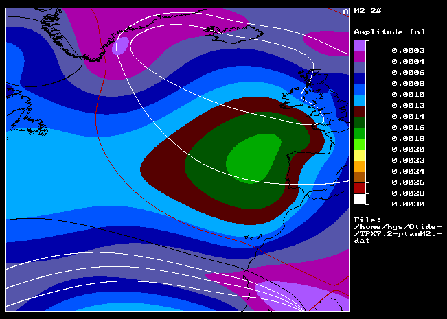
TPX7.2-maps.tar |
149M |
|
![[ ]](http://holt.oso.chalmers.se/icons/compressed.gif) |
TPX7.2-ptanSS.daf.gz |
6.5M |
|
|
TPX7.2-radiSS.daf.gz |
6.2M |
|
|
cmc.tar |
50K |
Collection of
frame-centre tide parameters
|
|
mzfu.tar.gz |
23K |
Formatted-to-unformatted
(bin-to-ascii), Fortran77
|
|
mzuf.f |
4.6K |
Unformatted-to-formatted
(ascii-to-bin), Fortran77
|
|
olcmc.tar |
160K |
Compute frame-centre
tides; Fortran77
|
|
olmg.tar.gz |
430K |
Compute BLQ files from
grids; Fortran77
|
|
sites.tar |
60K |
Files with sites
|
![[DIR]](http://holt.oso.chalmers.se/icons/folder.gif) |
upd/ |
- |
Updates for files
olmg.tar.gz (items of discussion eventually)
|